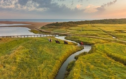
Land and water at Nieuwvliet
Hiking trail (7 km)

Zeeland-Flanders has everything from magnificent North Sea beaches, polders, dykes and creeks to salt marshes and mud flats along the Westerschelde estuary. The region has a rich tapestry of landscapes. Take an excursion to Europe’s largest salt marsh: het Verdronken Land van Saeftinghe. Go on a bird safari in De Braakman nature reserve. Or explore the wide diversity of fauna and flora in Het Zwin wildlife haven. And do you want to enjoy all this beauty for longer? Then stay overnight in one of the attractive accommodations in the region.
Read more about nature reserves in Zeeland-Flanders.
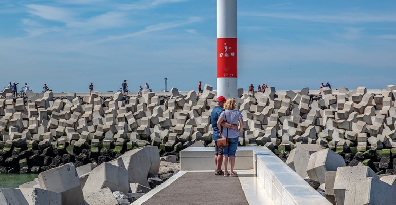
Zeeland-Flanders is home to many unique places worth discovering! Take the artists’ village of Groede, for example, or home of the mussel, Philippine, and the rough and ready seaport of Terneuzen. There’s shopping aplenty in the fortified towns of Sluis and Hulst. Prefer a day at the beach? That’s possible too at Cadzand, Nieuwvliet or Breskens. There’s something for everyone!
When it comes to classy restaurants, Zeeland-Flanders has more than its fair share. Zeeland’s seafood delights, such as mussels and lobster, can be best savoured in Philippine. During the asparagus season, this ‘white gold’ can be relished in Zeeland-Flanders villages, such as Zuiddorpe and Koewacht. Axel and Sas van Gent are worthy of mention here too. Tip: Take a look in Cuyperskerk in Sas van Gent, where shopping, dining and wining go hand in hand.
Discover the flavours of Zeeland-Flanders.
Curious to know about events in Zeeland-Flanders? Check out our events’ listings.